The CoastWatch Utilities

CoastWatch is a US National Oceanic and Atmospheric Administration (NOAA) program that provides global coverage oceanographic satellite imagery in near-real time (within several hours of data capture) using data from weather and research satellites. The CoastWatch Utilities is actively maintained for use in analyzing, converting, and viewing data files distributed by CoastWatch and others. See the following:
Terrenus HRPT Ingestor

The Terrenus HRPT (High Resolution Picture Transmission) ingestor software is used for processing level 0 HRPT/CHRPT captured at a receiving station. The software extracts the AVHRR (Advanced Very High Resolution Radiometer) or MVISR (Multichannel Visible and Infrared Scan Radiometer) sensor data, performs thermal channel calibration, computes earth locations and scan angles, and writes an HDF or NetCDF file. The output may be used with the CoastWatch Utilities, or with third-party software such as IDL/ENVI or Matlab to compute level 2 products. The package is released under the GNU General Public License with full source code:
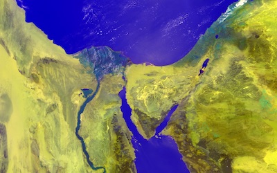
The HRPT User Manual describes how to install and use the software, and the Sample Images show examples of the software output rendered using the CoastWatch Utilities. Version 2.2 contains the following improvements:
- Corrected errors in satellite earth location during the month of March in a leap year (2008, 2012, ...)
- Corrected erroneously flagged missing lines in the output of NOAA-18 data
- Added support for TeraScan CHRPT format ingest from FY-1D
- Corrected missing line data values in NetCDF output files
See the user manual for all the changes.
If you find the HRPT software useful, please email peter@terrenus.ca and let us know. The only way the software will keep being maintained is if there are users.
Acknowledgements: The software development and installation packages for the Terrenus HRPT Ingestor were made possible by the generous donation of licenses for JProfiler and install4j by ej-technologies.


